
Santiago rattles after 4.8 magnitude earthquake hits Chile
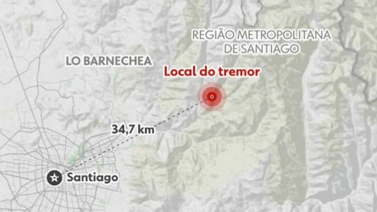
The Euro-Mediterranean Seismological Centre recorded a magnitude 4.8 earthquake across the Santiago Metropolitan Region in Chile on September 18, 2026. Residents in the capital felt ground movement during the morning event.
Seismographs tracked the tremor at an underground depth of 98 kilometers beneath the surface. Specialists initially calculated a preliminary rating of 5.2 before reassessing the event.
The Euro-Mediterranean Seismological Centre lowered the official metric after geophysicists analyzed comprehensive telemetry transmitted by seismic stations distributed across Chilean territory, cross-referencing seismic signals with regional facilities to verify the precise depth and shaking intensity.
Villa Presidente Frei marked the epicenter of the seismic event, situated 33 kilometers away from Santiago. Civil Defense authorities reported zero damage to municipal infrastructure and dismissed any tsunami threat along the Pacific Ocean coastline.
Nobody suffered injuries. https://twitter.com/geotechwar/status/2101000547528757642 Michigan Tech classifies earthquake impacts across specific power ranges. Their scale measures consequences on community structures.
The institution outlines severity through distinct vibration brackets: Up to 2.5: instruments detect the vibration, but people do not feel movement. From 2.5 to 5.4: residents perceive shaking, with minor structural damage occurring.
From 5.5 to 6.0: noticeable damage appears on buildings and various constructions. From 6.1 to 6.9: severe destruction affects densely populated communities. From 7.0 to 7.9: major earthquake conditions cause heavy building collapse.
From 8.0 upward: ground displacement completely destroys settlements located near the source. The United States Geological Survey noted that every seismic event releases a distinct amount of energy throughout the terrestrial crust.
