
Cincinnati Faces Level 3 Severe Weather Risk With Flooding and Tornado Threat
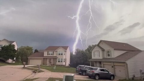
Greater Cincinnati faces an Enhanced Level 3 of 5 risk for severe thunderstorms Tuesday, with damaging winds, flash flooding and isolated tornadoes possible as multiple rounds of storms move across the region.
The greatest severe weather threat could develop late Tuesday afternoon into the evening, with damaging wind gusts and flooding expected to be the primary hazards. Brief, spin-up tornadoes are also possible.
Flooding is a major concern, with much of the region under a Flood Watch through 8 a.m. Wednesday. The Cincinnati area is also under a Level 3 of 4 risk for excessive rainfall, indicating the potential for widespread flooding.
High humidity could allow thunderstorms to produce very heavy rainfall in short periods, while repeated storms passing over the same locations may significantly increase the risk of flash flooding.
The unsettled weather pattern is expected to continue through at least Friday, with additional rounds of rain and thunderstorms possible.



