
National Weather Service warns of flood from remnants of Hurricane Polo
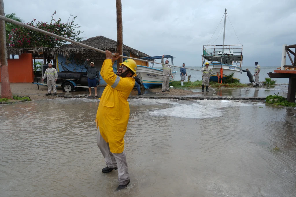
“The heaviest rain is expected Thursday and Friday, with leftover showers and storms lingering into the weekend,” said Ryann Jones, NBC5 meteorologist.
Warning areas and potential impact
The predicted rainfall is from the remnants of Hurricane Polo, from the Eastern Pacific near the coast of Baja California, said Tom Bradshaw, Meteorologist at the National Weather Service WFO Dallas-Fort Worth.
Rainfall is expected to total two to five inches, with a chance of reaching eight inches.
The excessive runoff can result in flooding of rivers, creeks, streams and any other flood-prone locations.
Because DFW hasn’t experienced such excessive rainfall in so long, it’s easy to forget what road conditions are like.
“When we get heavy rainfall in the Metroplex, we have a lot of areas with poor drainage or where water runs off quite quickly,” said Bradshaw.
Jones wants people to remember to “Turn Around, Don’t Drown and know the difference between a Flood Watch and Warning.
A Flood Watch means flooding will be possible soon, while a Flood Warning means flooding is about to happen or happening.”
