
Thunderstorms, winds and floods from Hurricane Polo target Texas
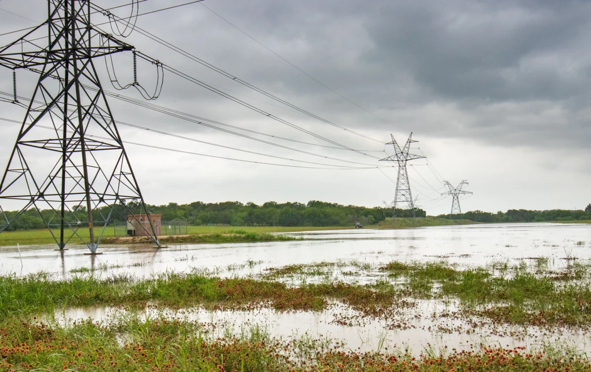
Tropical moisture primarily associated with Hurricane Polo is likely to bring a deluge of rain to Texas early this week, possibly even leading to severe flooding in parts of the state.
Warning areas and potential impact
Residents across the West Texas specifically are being warned that between Monday and Wednesday, conditions may be pretty poor.
"Expect areas of heavy rain to develop late Monday afternoon and continue into late Tuesday night/early Wednesday morning, along with a moderate risk of flash flooding," wrote the National Weather Service in El Paso in its forecast Sunday.
The El Paso area is under a flood watch starting noon Monday and lasting through 6 a.m. Wednesday.
Forecasters expect the rain to start sometime Monday and continue throughout, with isolated thunderstorms and gusty winds possible and rain totals of about three to four inches in isolated spots.
The rain is then scheduled to reach the Texas Panhandle by sometime after 7 a.m. Tuesday.
There, forecasters are expecting heavy rain of up to three inches per hour in isolated spots, along with lightning and gusty winds.
"The remnants of Hurricane Polo will get caught up in the developing southwestern U.S. trough and be moving across southern and eastern New Mexico by Tuesday evening," wrote the National Weather Service in Amarillo in its forecast Sunday.
