First-Ever Tornado Watch Issued as Storm Brings Flooding and 110-Mph Winds
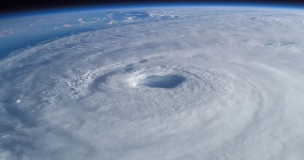
The National Weather Service on Monday issued a Tornado Watch for Kauai as Hurricane Lowell approached the western Hawaiian Islands, with sustained winds of 110 mph and heavy rain and damaging surf.
Warning areas and potential impact
At 5 p.m.
Tornado Watch 1 was issued at 4:13 p.m. HST and will expire at 4 a.m. Tuesday.
The National Weather Service has issued a tornado watch for Kauai and near Kauai, where conditions are favorable for a tornado, and a few tornadoes are expected overnight near Kauai and Niihau.
The Central Pacific Hurricane Center predicted that Lowell would travel in a north-northeast to north direction through Tuesday; the storm's core was expected to go past Niihau or just to the west of the island on Monday night and early Tuesday before turning west-northwest and slowing down by early Wednesday.
Areas covered by the alert
HST, Lowell was situated approximately 170 miles to the southwest of Lihue and was moving north-northeast at 18 mph, according to the National Weather Service's Central Pacific Hurricane Center.
On Monday at 5 p.m., Lowell had maximum sustained winds of 110 mph, which meant that it was a Category 2 hurricane on the Saffir-Simpson Hurricane Wind Scale; the lowest central pressure of the storm was 956 millibars and hurricane-force winds reached as far as 70 miles from its center.