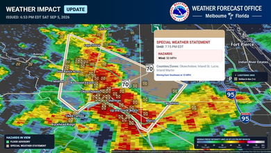
Severe Thunderstorm Warning Issued in Carter, Greene, Sullivan and Washington, Tennessee
Severe Thunderstorm Warning was issued by the for Carter, Greene, Sullivan and Washington Counties in Tennessee.
Severe Thunderstorm Warning
The alert was issued at 12:20 PM local time and is scheduled to remain in effect until 12:30 PM local time. The NWS lists the alert severity as severe. Its urgency is listed as immediate. The event is classified as observed.
Storm Details
Severe thunderstorms were located along a line extending from 7 miles west of Peoria to Greeneville, moving southeast at 35 mph
Hazards
60 mph wind gusts
Potential Impact
Expect damage to roofs, siding, and trees
Locations Mentioned
Johnson City, Greeneville, Elizabethton, Jonesborough, Tusculum, Central, Midway, Gray, Oak Grove, and Spurgeon. This includes the following highways. Interstate 26 in Tennessee between mile markers 11 and 23. Interstate 81 in Tennessee between mile markers 24 and 52
Areas Affected
The warning covers Carter, Greene, Sullivan and Washington Counties in Tennessee.
Safety Information
For your protection move to an interior room on the lowest floor of a building. Wind damage with these storms will occur before any rain or lightning. Do not wait for the sound of thunder before taking cover. SEEK SHELTER IMMEDIATELY inside a sturdy structure and stay away from windows. Continuous cloud to ground lightning is occurring with these storms. Move indoors immediately. Lightning is one of nature's leading killers. Remember, if you can hear thunder, you are close enough to be struck by lightning.