
Severe Thunderstorm Warning Issued in Caldwell, Carroll, Lafayette and Ray, Missouri
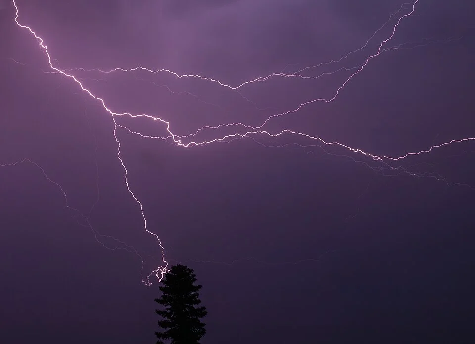
Severe Thunderstorm Warning was issued by the for Caldwell, Carroll, Lafayette and Ray Counties in Missouri.
Severe Thunderstorm Warning
The alert was issued at 8:37 PM local time and is scheduled to remain in effect until 8:45 PM local time. The NWS lists the alert severity as severe. Its urgency is listed as immediate. The event is classified as observed.
Storm Details
Severe thunderstorms were located along a line from near Braymer to over Norborne, or along a line from 18 miles northwest of Carrollton to 8 miles southwest of Carrollton, moving east at 45 mph
Hazards
60 mph wind gusts and quarter size hail
Potential Impact
Hail damage to vehicles is expected. Expect wind damage to roofs, siding, and trees
Locations Mentioned
Richmond, Lexington, Polo, Hardin, Henrietta, Cowgill, Rayville, Camden, Fleming, Knoxville and Stet
Areas Affected
The warning covers Caldwell, Carroll, Lafayette and Ray Counties in Missouri.
Safety Information
Seek shelter inside a well-built structure and stay away from windows. These storms are capable of producing damaging winds and large hail.
